
‘Our islands don’t even exist’: finding Maldives from space
Maldives space organisation unveils platforms to fill ocean model blind spots.
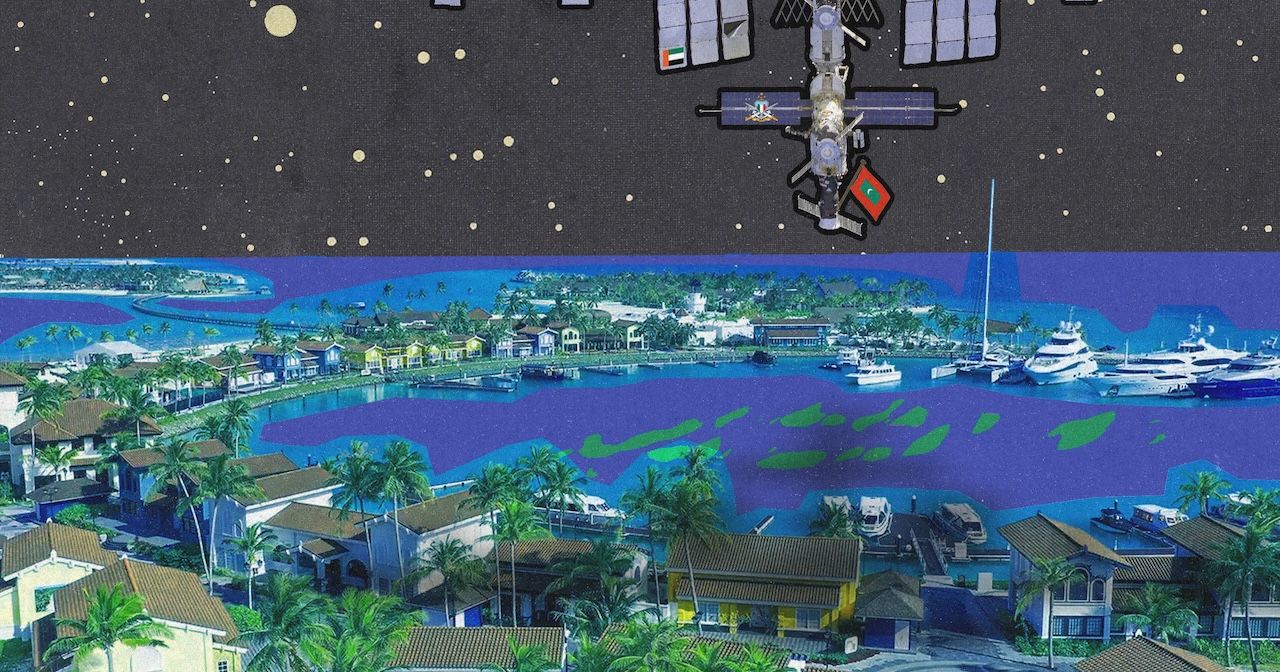
Artwork: Dosain
1 hour ago
If it appears at all on world maps and classroom globes, the Maldives is a scatter of dots. On the global models that forecast waves, winds and sea temperatures, most of those dots never appear at all.
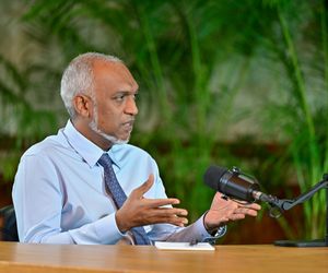
“For most of these models, our islands don't even exist because an island is smaller than a single cell of the model," said Madin Maseeh, president of the Maldives Space Research Organisation (MSRO).
"It’s not our reef, not our harbour, not our island, it's just the open ocean. That’s what the model sees. Most earth observation solutions built for island nations are not built by island nations."
The models are "blind to us" because they can only zoom in to five kilometres at best, he explained. "But we have islands that are a kilometre square. How are these islands catered for by these global models?"
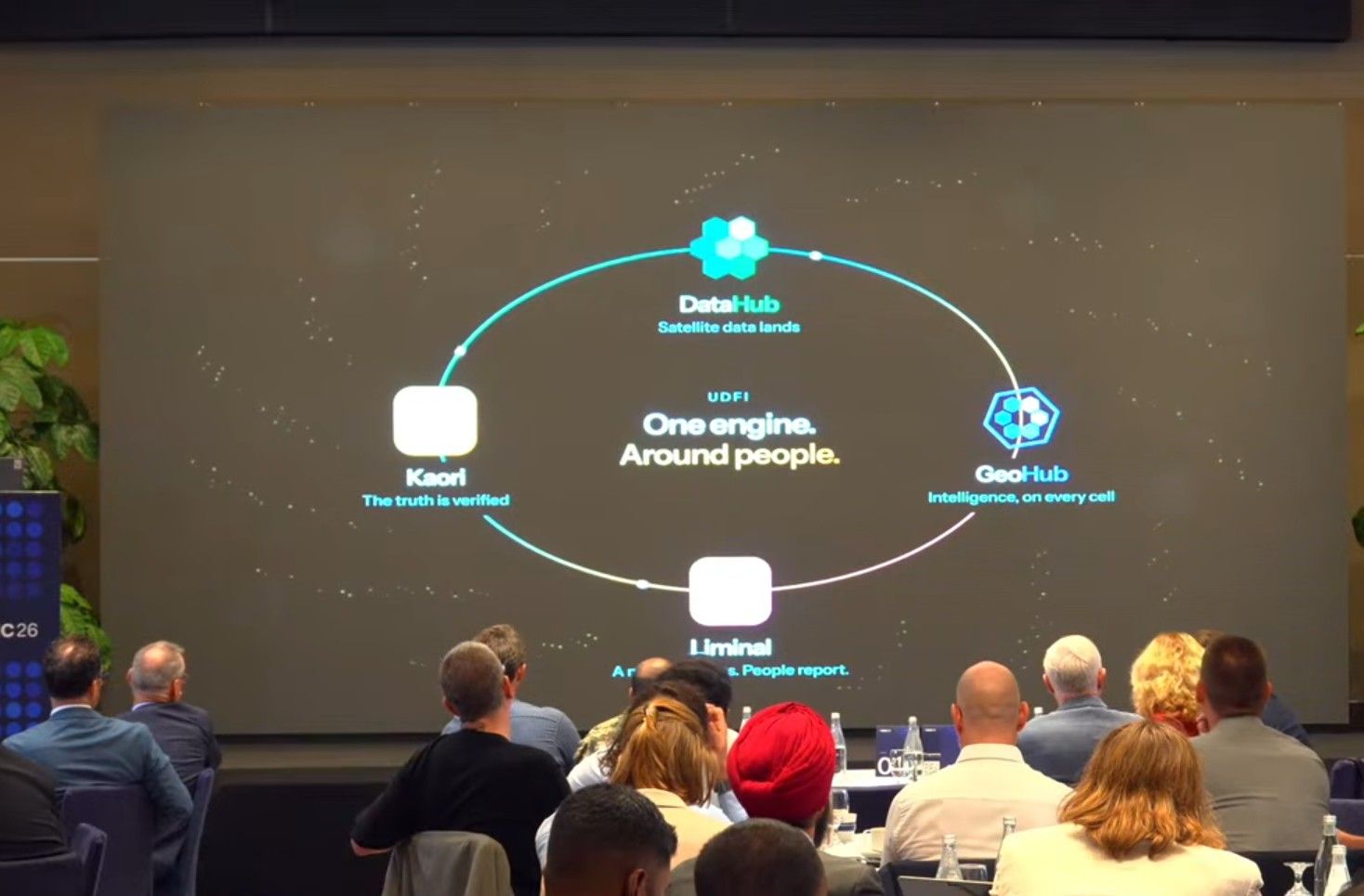
MSRO wants to close that gap. At the Space for Island Nations Conference (SINC) held in Crossroads this week, it announced three products to help the Maldives and other island nations use space and earth observation data to monitor oceans and climate.
“Maldivians have always looked to the stars," was an oft-repeated statement at the conference as representatives from international organisations and small island states gathered for the third edition.
"Since 2022 we have access to so many more satellites than we’ve ever had before. We are discussing satellites that are coming up. But just having satellites does not mean our problems go away," said Madin.
From data to tools
The products that MSRO is launching includes DataHub, a cell-based data repository that allows access to earth observation data of Maldivian islands and waters. It includes data from sentinel 1, sentinel 2 and other satellite data available through request.
The catalog lists a total 22 datasets, spanning radar, satellite, geospatial and scientific datasets. It also includes coral reef health data, wind, rain and cloud forecasts, sea surface temperatures, observed sea level and observed chlorophyll data.
The second product, GeoHub, is a unified geospatial intelligence platform for ocean monitoring, tidal forecasting and hazard assessment across the Maldivian archipelago. It currently only lists tidal monitoring and forecasting as operational. Sea surface temperature and marine conditions analysis, deformation and hazard analysis and coastal shoreline change remain experimental. Community-driven collaborative mapping, benthic mapping of marine ecosystems and early warning of climate health hazards are listed as "coming soon".
DataHub consolidates data that is currently available from different sources and presents it in one place in an easily accessible manner, said Dr Nashwan Matheen, a researcher and coastal engineer.
"There are datasets like chlorophyll and sea surface temperature in ocean monitoring, but the tools we build on top of it to do certain things," he told the Maldives Independent. "Vona Saves Lives is a tool made under ocean monitoring for the Coast Guard to do search and rescue. Monitoring pollution is what the environment ministry and ERA [Environmental Regulatory Authority] requires for protected area management. We are in the process of validating these tools now."
One tool listed as experimental in GeoHub shows coastline changes covering beach erosion. It currently includes data for islands in Baa and Noonu atolls. The islands with the worst erosion are marked in red. MSRO is working on extending the dataset to cover the entire Maldives before the end of the year, Nashwan said.
"For checking coastal erosion, it is made for the ministry of environment's erosion assessments, to see which islands and areas are eroding. But the same datasets can be used by the tourism ministry to make a financial feasibility assessment to see which islands would be best to make a resort," he suggested.
Chasing tuna from space
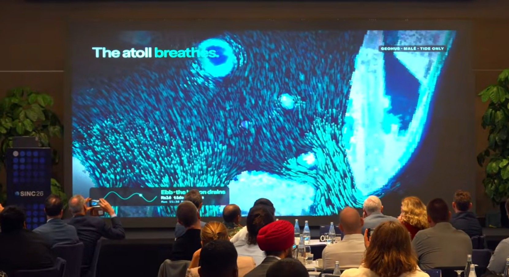
A demonstration at SINC showed a living base map showing currents moving through the Maldives as well as features that allow tracking tuna hotspots, salinity and plankton from Geohub.
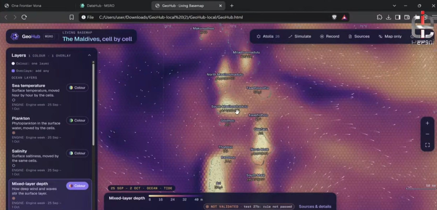
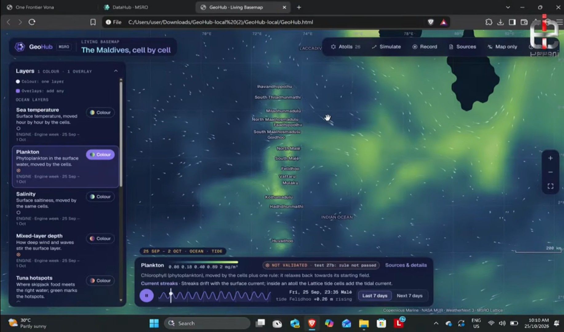
Tuna hotspots are estimated using bio-signs like chlorophyll. It is currently being tested on the ground by fishermen, Nashwan said.
"It will go live on 1 December. Tuna hotspots are estimated using a model from South Korea by creating an index from chlorophyll, sea surface temperature and mixed layer depth data," he explained.
"I want to note that the datasets used in this is a foundational dataset. We studied how tuna hotspots are identified in other parts of the world, we applied that method to Maldives. But there is no certainty it will work for Maldives. So its a partial semi-validated datasets. But we are working on tuna hotspots with Huvadhoo fishers, to show them this and say it shows this as a tuna hotspot and if they can go and check if tuna is there. So we are working on validating that data."
The platform would be able to formulate drift models to forecast movement in the ocean based on currents and wind, Madin explained. It can also model how oil spills would spread. MSRO calls it Vona Saves Lives.
Madin said MSRO aims to have a Vona Sea Atlas for every atoll in the world by the end of the year.
Liminal, the third product, is a way for "ground truthing" the data using citizen science observations. The protocol for ground truthing is called Kaori, named after the cowry shells.
"We once gave the world this currency that the entire world could trust, the cowry shells. And today once again we give you intelligence and truth that you can trust," he said.
Deep sea to deep space
"We are going to tackle some big problems now that we have this incredible capability. First, will our reefs survive the next super El Niño. We are going to start an entire national campaign with our Liminal to ground truth coral bleaching, and also show the coral atlas through our GeoHub," said Madin.
"We are also going to do observations because remember we are going from deep sea to deep space. There’s a big asteroid (Apophis) coming up in 2029, we are going to use the entire Maldives from north to south to observe and ask the question, can we provide valuable data to the global community for planetary defence."
Other areas MSRO is exploring include investigating the impact of the magnetic equator on signals and daily lives. It also wants to use the southernmost atoll to see if it is possible to forecast rains a month ahead.
"Addu is located in a place that matters a lot to the entire subcontinent. All the tropical storms, all the rains start from that area. With the kind of work MSRO is doing with atmospheric studies and also with Datahub, Geohub and Liminal, are we able to provide more data to the entire world on Addu?" Madin asked.
"In the last three years we have really tried to understand, what does space mean for the Maldives, what does Maldives mean to space? We started SINC 1 by saying that Maldivians have always looked to the stars, we tried to find our relevance to space...Our forefathers created the star map, the nakaiy system, the traditional indigenous knowledge that we had to navigate our oceans and understand our weather.
"In SINC 2 we tried to show that we have a lot to offer. We have islands that can offer ground truthing, we can offer data that these space community can work with. And between SINC 2024 it has been two years."
Mandate and money
Formed by a small team of young people at the forefront of space research in the Maldives, MSRO was officially recognised and mandated in 2024 to represent the Maldives in all space-related matters through a partnership with the defence ministry.
In the same year, the Maldives joined the UN Committee on the Peaceful Uses of Outer Space. Seychelles and the Bahamas have since followed.
MSRO was founded in 2022 when Madin became the first Maldivian to attend the International Space University's Space Studies Program, where he received support from more than 100 members of the cohort as well as the wider space community.
It is also one of the five founding members of the Space Ocean Alliance initiated by the French Space Agency alongside Norway Space Agency, Monaco Space Office and UN Office for Outer Space. Madin is the current chair of the alliance.
MSRO lists the Maldives National Defence Force, Trans Maldivian Airways, Czech Aid, UN Office for Outer Space, South African National Space Agency, Aerospacelab, Axel Space, Breakthrough Initiatives, Orbit Fab and the United Nations Institute for Disarmament Research as partners.
Earlier this year, MSRO launched a €5 million project funded through the European Union's Horizon Europe programme to track marine pollution. Named POSEIDON (Pollution Observation from Space: Environmental Imagery for Detections in the Oceans & Nearshore), the project aims to monitor oil spills, sewage discharge, chemical pollutants and marine plastic litter by using combination of Earth Observation data, including optical, SAR, multispectral and hyper-spectral satellite imagery; in-situ environmental water quality measurements; and hydrodynamic modelling together with advanced AI-enabled analytics.
“Maldives is made up of more than 1,000 islands, almost 1,200 depending on the season depending on the weather, if the islands come and go," said Madin. "We have a word for that, it’s called vona dhona, which roughly translates to 'the islands that appear and disappear.'"
Discussion
No comments yet. Be the first to share your thoughts!
No comments yet. Be the first to join the conversation!
Join the Conversation
Sign in to share your thoughts under an alias and take part in the discussion. Independent journalism thrives on open, respectful debate — your voice matters.
Support Independent Journalism
Help us keep the news free and fearless
Give once
$
or
Become a memberfrom $5/month