
For the Maldives, a cyclone’s damage starts before it has a name
Why storms that never reach us still do real damage.
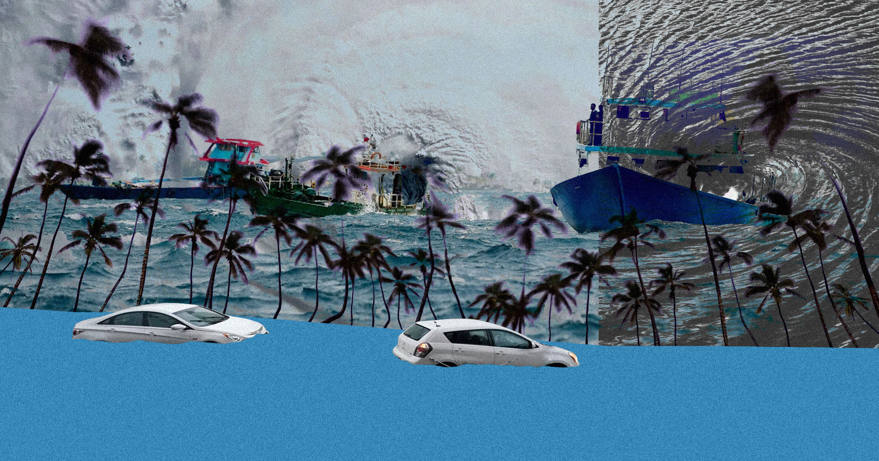
Artwork: Dosain
1 hour ago
When a cyclone in our part of the Indian Ocean finally gets a name, the world starts paying attention. News channels plot its path towards India, Bangladesh or Oman, and the question everyone asks is where it will make landfall.
In the Maldives, we are usually asking a different question: how much damage has it already done?
By the time a storm is named, our islands may have spent days under heavy rain. Ferries may already be tied up at the jetty, and shop shelves on outer islands may already be running low. For us, the name often arrives after the worst of it.
Why the ‘eye’ rarely reaches us
Cyclones get their spin from the rotation of the Earth. Scientists call this the Coriolis effect. It is strong near the poles and weakens to almost nothing at the Equator. Sitting just above the Equator, the Maldives is in a spot where a storm struggles to tighten into the classic spinning shape with a calm eye in the middle.
So as these systems gather strength, they tend to drift north and northwest, away from us and towards the big coastlines of South Asia and the Arabian Peninsula. That is why Maldives is considered low risk of direct cyclone impact.
That does not mean we escape. A storm that is still forming is big, messy and spread out. Its long bands of cloud and rain, known as feeder bands, can reach hundreds of kilometres from its centre. Very often, those bands are sitting right on top of our atolls.
From a patch of cloud to a named storm
Storms in the North Indian Ocean are tracked and named by the India Meteorological Department, which grades them by wind speed.
It starts with a low-pressure area. Warm sea water heats the air above it, the air rises, and clouds start to gather, with winds below 31 km/h (17 knots) and no clear centre. If it keeps organising, it becomes a depression, with winds of 31 to 49 km/h (17 to 27 knots) beginning to circle a centre. Next comes a deep depression, at 50 to 61 km/h (28 to 33 knots), tighter and wetter. Only when winds reach 62 km/h (34 knots) does it become a cyclonic storm and get a name. Given enough warm water, it can keep growing, up to a super cyclonic storm with winds of 222 km/h (120 knots) or more. Many systems never make it that far. They stall, weaken or fade out without ever earning a name.
On a coastline with hills and high ground, an unnamed depression might mean a wet weekend. Here it is a different story. Our islands sit less than a metre above the sea. A low-pressure system forming nearby, or the trailing rain bands of a cyclone far away in the Bay of Bengal or the Arabian Sea, can hit us as hard as a direct strike would hit somewhere else.
Arnab, before it was Arnab
The past week is a good example. Cyclone Arnab was only officially named on Monday (26 October), out in the Bay of Bengal. By then, many island communities here had already had a week of it.
While Arnab was still an unnamed low-pressure area, its rain bands settled over the Maldives islands. An orange alert for torrential rain went out for the central and northern atolls during 21–23 October. Drains overflowed, water got into homes, Malé was flooded every other day.
The wind was just as much of a problem. Almost everything that moves between our islands – people, food, fuel, medicine – goes by sea. When the gusts picked up, speedboats and ferries stopped running, domestic flights were grounded and fishing boats stayed in harbour. We were enduring these disruption for almost a week, before most of the world had heard the word Arnab.
Why the early stage matters
The waters around Sri Lanka, southern India and the Maldives, including the Comorin and Laccadive Seas, are one of the main places where storms in this ocean are born. When one starts forming there, we are effectively sitting inside its outer edge.
A developing storm pulls in huge amounts of warm, moist air from around the Equator and drags it across our islands. With flat land and very little natural drainage, the water has nowhere to go, and flooding comes quickly. At the same time, the thunderstorms in those bands throw out sudden, strong gusts that make the sea unsafe for small boats, even while regional forecasts are still describing the system as a low pressure, or an extension of a nearby low pressure, i.e a trough.
It has happened before
Arnab is not a one-off. Look back over the past decade and a half and the same pattern keeps showing up, at times much closer as well.
In 2012, Cyclone Nilam was heading for southern India, but its wide cloud bands sat over the Maldives, flooding dozens of islands and damaging homes and water supplies. In 2017, Ockhi formed as a depression in the Comorin Sea, close to our northern atolls, and lashed the north and centre of the country with rain and wind before moving off towards Lakshadweep.
In 2019, both Vayu and Maha took shape in the southern Arabian Sea near the northern Maldives, and gave us their heaviest rain while they were still forming. In 2021, Tauktae grew from a low near Lakshadweep, and its outer bands brought strong gusts, heavy rain and udha, swell flooding, to the northern and central atolls. And last year, Ditwah crossed the Sri Lanka region with an unusually wide stretch of bad weather on its southern side, bringing heavy rain and rough seas to the central and southern atolls.
A warming ocean
Warm water is what powers these storms. As a rough rule, cyclones need sea temperatures above about 26.5°C. Our part of the Indian Ocean is now often at 29 to 30°C. As the ocean keeps warming, scientists expect conditions that favour storm formation to become more common. For the Maldives, that could mean more storms forming close by, organising faster, and bringing heavier rain and stronger winds during their early days.
Counting what we actually lose
There is one more reason this matters and it has to do with money.
When countries seek international support for climate-related loss and damage, including through UN climate mechanisms, the damage is usually tied to a recognised event, such as a named cyclone. If the flooding, the damaged homes and the days without ferries happen before a storm has a name, or without a direct hit, they can easily end up recorded as ordinary monsoon weather.
The result is that the real cost of these storms to small island nations like ours gets undercounted.
If we want an honest picture of what cyclones cost the Maldives, we need to count their whole life, not just the part that makes the international news. For us, a cyclone does not start when it gets a name. It starts the moment the first low-pressure system begins to form over nearby waters.
Ahmed Shabin is a meteorologist and climatologist with nearly a decade of experience at the Maldives Meteorological Service, including a fellowship at the European Centre for Medium-Range Weather Forecasts (ECMWF). His current role as Secretary General at Maldivian Red Crescent reflects a broader interest in how climate risk translates into humanitarian work – an interest that informs, but does not direct, the views expressed here.
Discussion
No comments yet. Be the first to share your thoughts!
No comments yet. Be the first to join the conversation!
Join the Conversation
Sign in to share your thoughts under an alias and take part in the discussion. Independent journalism thrives on open, respectful debate — your voice matters.
Support Independent Journalism
Help us keep the news free and fearless
Give once
$
or
Become a memberfrom $5/month